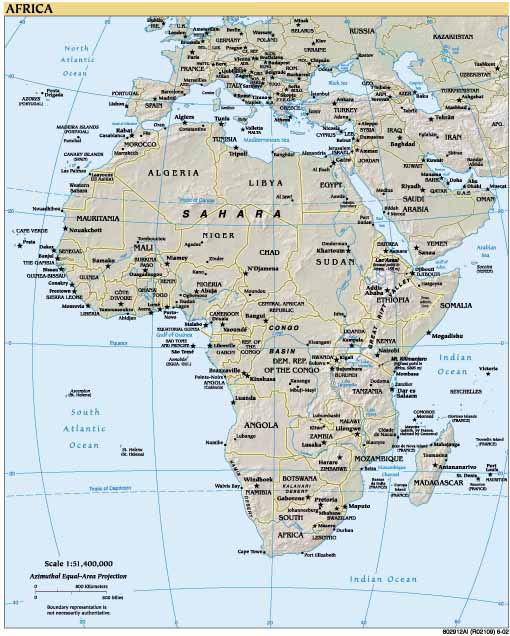
GOVERNMENT (CIA) MAP
Click image to return to gallery
This map is classed as a political map, which usually show the boundaries of countries. This map also shows various geographical features although these are usually better represented separately. This map is produced by the US government and found on the US CIA website. |


