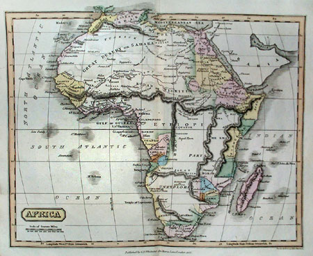
GOLDSMITH 1825 MAP
Click image to return to gallery
This 1825 map from Atlas and Geography shows some increase in knowledge of Africa during the two decades from 1805 (see previous map). Goldsmith is careful to include details such as tribes and political boundaries as well as geographical features. This map is hand-colored, with colors more vivid than many contemporary examples. The original was produced on a steel engraving and measures about 10 x 8 inches. |
Learn more about the Goldsmith 1825 map
previous map
|
next map
|
|---|


