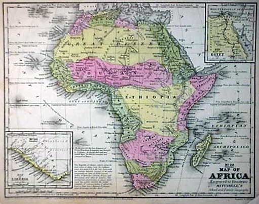
MITCHELL 1852 MAP
Click image to return to gallery
Published by Samuel Augustus Mitchell, better known for his maps of North America, this is an excellent example of the
state of knowledge of the continent in the mid-nineteenth century. The coastline is well-defined and accurate. Two existing nations, Liberia
and Egypt are marked, but the interior is largely featureless. The original map measures 15 x 17 inches. |
Learn more about the Mitchell 1852 map
previous map
|
next map
|
|---|


