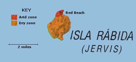
Rabida is the eleventh biggest island of the Galapagos, 1.9 square miles in area. It rises to 1,203 feet, making it relatively high for its area. Rabida's composition is dominated by scoria, a particulate material created by explosive eruptions when hot lava meets sea water. Scoria has high levels of iron that gives it a red color, hence the visitor is presented with a spectacle of tall red cliffs and a red beach. The single volcano that resulted in the island's formation is extinct.A small lagoon behind salt bush that line the beach is one of the best places to see flamingos. A herd of sealions also makes its home here. The Ecuadorian name from 1832 is after a Spanish convent. The English named it after Admiral John Jervis.
Rabida
Visitor Site
Red Beach
![]()