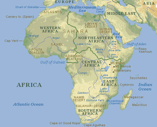
TYPICAL (ATLAS) MAP
Click image to return to gallery
This map is typical of those you might find in an atlas. This is classed as a topographical map as it shows primary geographical features such as mountains, rivers and lakes, and color-coded elevation, rather than political boundaries. |
Learn more about the Africa typical (atlas) map
previous map
|
next map
|
|---|


