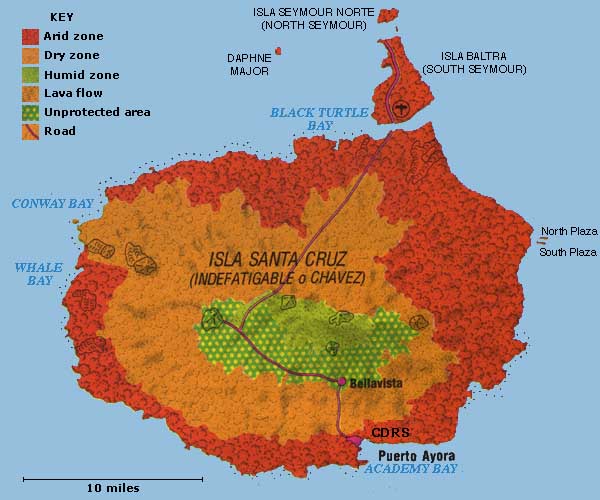
Santa Cruz Island is the heart of the Galapagos. Located centrally it is the second biggest island, 380
square miles. Like some of the other islands it is almost circular, about 26 miles long and 19 miles wide.
The highest point, is 2,835 feet. It is dominated by a central peak that may be comprised of several seperate
volcanoes. The name Santa Cruz means Holy Cross (literally "Saint Cross"). The Ecuadorians gave it
this name in 1832 after their official independence from Spain. The English named it Indefatigable after a
warship. For most visitors, this is the first major island they visit because most flights from the mainland
land on Baltra, which was a U.S. naval base during World War Two. It was the Americans that built the
airstrip that was later converted for commercial use.
|


